
Thank you for supporting this site ❤️
Make a donation
Make a donation
Gear up for your next adventure:
As an Amazon Associate, this site earns from qualifying purchases at no extra cost to you.
Balranald topographic map
Click on the map to display elevation.
Thank you for supporting this site ❤️
Make a donation
Make a donation
Gear up for your next adventure:
As an Amazon Associate, this site earns from qualifying purchases at no extra cost to you.
About this map
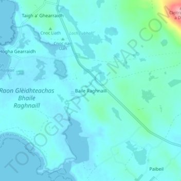
Name: Balranald topographic map, elevation, terrain.
Location: Balranald, Western Isles, Scotland, HS6 5DW, United Kingdom (57.58055 -7.50491 57.62055 -7.46491)
Average elevation: 43 ft
Minimum elevation: -3 ft
Maximum elevation: 436 ft
Thank you for supporting this site ❤️
Make a donation
Make a donation
Gear up for your next adventure:
As an Amazon Associate, this site earns from qualifying purchases at no extra cost to you.