Geolocate

Exeland topographic map

Click on the map to display elevation.

About this map

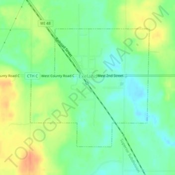
Name: Exeland topographic map, elevation, terrain.

Location: Exeland, Sawyer County, Wisconsin, United States (45.65710 -91.25675 45.67531 -91.23049)

Average elevation: 1,207 ft

Minimum elevation: 1,152 ft

Maximum elevation: 1,280 ft

Sawyer County trails, hiking, mountain biking, running and outdoor activities

Gear up for your next adventure:

🧭Pro Hiking Compasses - High-accuracy liquid-filled compasses for topographic orientation
Camping Coffee Makers - Enjoy premium coffee at the summit or campsite
🦶Carbon Trekking Poles - Reduce knee impact on steep descents with ultra-light poles
🥾Women's Hiking Boots - Top-rated trail boots with ankle support and superior grip
🌎3D Topographic Globes - Raised relief globes for a tactile understanding of geography

As an Amazon Associate, this site earns from qualifying purchases at no extra cost to you.