
Thank you for supporting this site ❤️
Make a donation
Make a donation
Gear up for your next adventure:
As an Amazon Associate, this site earns from qualifying purchases at no extra cost to you.
Gamasa topographic map
Click on the map to display elevation.
Thank you for supporting this site ❤️
Make a donation
Make a donation
Gear up for your next adventure:
As an Amazon Associate, this site earns from qualifying purchases at no extra cost to you.
About this map
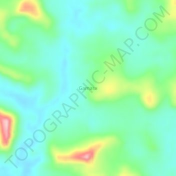
Name: Gamasa topographic map, elevation, terrain.
Location: Gamasa, Libenge, Sud-Ubangi, Democratic Republic of the Congo (4.44667 18.89667 4.48667 18.93667)
Average elevation: 1,493 ft
Minimum elevation: 1,322 ft
Maximum elevation: 1,975 ft
Thank you for supporting this site ❤️
Make a donation
Make a donation
Gear up for your next adventure:
As an Amazon Associate, this site earns from qualifying purchases at no extra cost to you.