
Annapolis topographic map
Click on the map to display elevation.
About this map
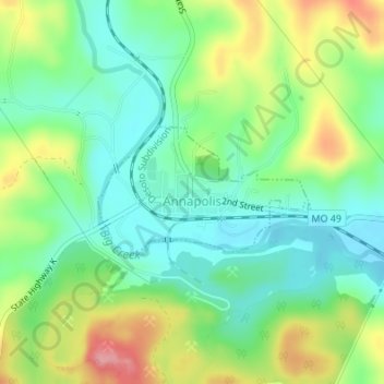
Name: Annapolis topographic map, elevation, terrain.
Location: Annapolis, Iron County, Missouri, United States (37.35632 -90.70596 37.36554 -90.68711)
Average elevation: 728 ft
Minimum elevation: 594 ft
Maximum elevation: 968 ft
Iron County trails, hiking, mountain biking, running and outdoor activities
Other topographic maps
Click on a map to view its topography, its elevation and its terrain.
Elephant Rocks State Park
United States > Missouri > Iron County > Graniteville
Average elevation: 1,227 ft