Geolocate

Elbow Lake topographic map

Click on the map to display elevation.

About this map
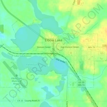
Name: Elbow Lake topographic map, elevation, terrain.

Location: Elbow Lake, Grant County, Minnesota, United States (45.98138 -95.99750 45.99957 -95.95615)

Average elevation: 1,207 ft

Minimum elevation: 1,171 ft

Maximum elevation: 1,250 ft

Grant County trails, hiking, mountain biking, running and outdoor activities

Gear up for your next adventure:

💧Water Filtration Bottles - Safely drink from streams and lakes while exploring
🧣Merino Neck Gaiters - Multi-functional headwear for wind and sun protection
☀️Outdoor Sunscreen - High protection sunscreen for outdoor activities
⛺Backpacking Tent - Lightweight and durable tent for multi‑day hikes
❄️Traction Cleats - Prevent slips on icy trails during winter hikes

As an Amazon Associate, this site earns from qualifying purchases at no extra cost to you.