Geolocate

Coamiles topographic map

Click on the map to display elevation.

About this map
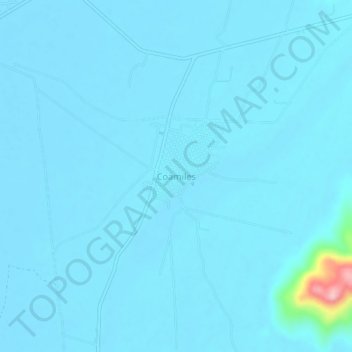
Name: Coamiles topographic map, elevation, terrain.

Location: Coamiles, Tuxpan, Nayarit, 63200, México (21.90133 -105.27437 21.94133 -105.23437)

Average elevation: 56 ft

Minimum elevation: 26 ft

Maximum elevation: 636 ft

Gear up for your next adventure:

🔭Stargazing Telescopes - Perfect for camping in low-light pollution areas shown on maps
🎒Waterproof Dry Bags - Keep your electronics and maps dry inside your pack
🧣Hiking Neck Gaiter - Multi‑use neck protection for outdoor weather
🥄Camping Utensil Set - Lightweight utensils for outdoor meals
🏕️Tent Footprint - Protect your tent base from wear

As an Amazon Associate, this site earns from qualifying purchases at no extra cost to you.