
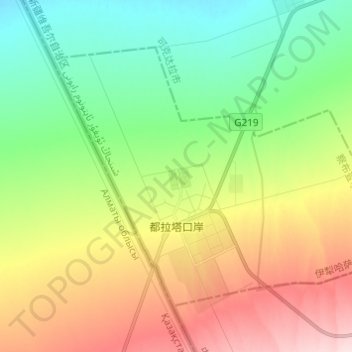
都拉塔口岸 topographic map
Interactive map
Click on the map to display elevation.
About this map
Name: 都拉塔口岸 topographic map, elevation, terrain.
Location: 都拉塔口岸, 察布查尔锡伯自治县, 伊犁哈萨克自治州, 新疆维吾尔自治区, 中国 (43.66249 80.58913 43.72731 80.71097)
Average elevation: 2,359 ft
Minimum elevation: 2,021 ft
Maximum elevation: 2,890 ft
Other topographic maps
Click on a map to view its topography, its elevation and its terrain.