
伊犁州平原林场 topographic map
Interactive map
Click on the map to display elevation.
About this map
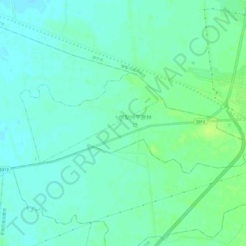
Name: 伊犁州平原林场 topographic map, elevation, terrain.
Location: 伊犁州平原林场, 察布查尔锡伯自治县, 伊犁哈萨克自治州, 新疆维吾尔自治区, 中国 (43.85701 81.20743 43.87288 81.26129)
Average elevation: 1,965 ft
Minimum elevation: 1,946 ft
Maximum elevation: 1,991 ft
Other topographic maps
Click on a map to view its topography, its elevation and its terrain.