
大港 topographic map
Interactive map
Click on the map to display elevation.
About this map
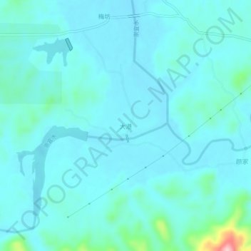
Name: 大港 topographic map, elevation, terrain.
Location: 大港, 宜黄县, 抚州市, 江西省, 中国 (27.63236 116.28572 27.67236 116.32572)
Average elevation: 269 ft
Minimum elevation: 190 ft
Maximum elevation: 843 ft
Other topographic maps
Click on a map to view its topography, its elevation and its terrain.