
宜黄县 topographic map
Interactive map
Click on the map to display elevation.
About this map
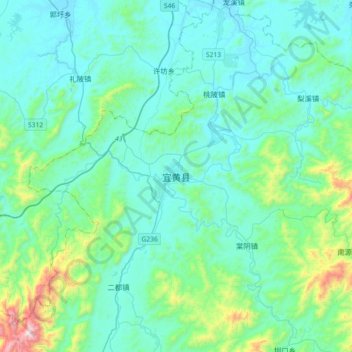
Name: 宜黄县 topographic map, elevation, terrain.
Location: 宜黄县, 抚州市, 江西省, 中国 (27.39660 116.07140 27.71660 116.39140)
Average elevation: 682 ft
Minimum elevation: 180 ft
Maximum elevation: 3,609 ft
Other topographic maps
Click on a map to view its topography, its elevation and its terrain.