
القصر الإسلامية topographic map
Interactive map
Click on the map to display elevation.
About this map
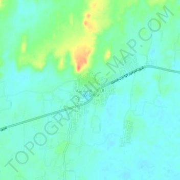
Name: القصر الإسلامية topographic map, elevation, terrain.
Location: القصر الإسلامية, New Valley, Egypt (25.67771 28.86373 25.71771 28.90373)
Average elevation: 390 ft
Minimum elevation: 348 ft
Maximum elevation: 522 ft
Other topographic maps
Click on a map to view its topography, its elevation and its terrain.