Geolocate

Gujba topographic map

Click on the map to display elevation.

About this map

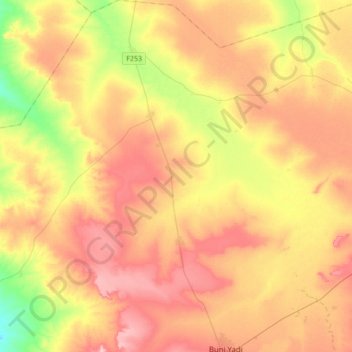
Name: Gujba topographic map, elevation, terrain.

Location: Gujba, Yobe, Nigeria (11.27389 11.80719 11.60980 12.09236)

Average elevation: 1,371 ft

Minimum elevation: 1,129 ft

Maximum elevation: 1,575 ft

Gear up for your next adventure:

📡GPS Antenna Upgrade - Enhance GPS reception in remote terrain
🗺️NatGeo Topo Maps - High-quality waterproof printed topographic maps of US Parks
🎒Trekking Poles - Sturdy poles for balance and stability on rough terrain
🪶Paracord Bracelet - Survival bracelet with built‑in tools
🧭Pro Hiking Compasses - High-accuracy liquid-filled compasses for topographic orientation

As an Amazon Associate, this site earns from qualifying purchases at no extra cost to you.