Geolocate

Colpani topographic map

Click on the map to display elevation.

About this map

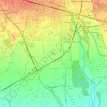
Name: Colpani topographic map, elevation, terrain.

Location: Colpani, Grassobbio, Bergamo, Lombardia, 24050, Italia (45.62325 9.70190 45.66325 9.74190)

Average elevation: 696 ft

Minimum elevation: 607 ft

Maximum elevation: 778 ft

Gear up for your next adventure:

🥤Water Filter Bottle - All‑in‑one filter bottle for safe hydration
🧭Map Reading Tools - Tools and kits for map navigation
Backpacking Tents - Weight-optimized shelters for multi-day topographic surveys
🪶Compact Camp Shovel - Folding shovel for campsite tasks
🧼Biodegradable Camping Soap - Eco‑friendly soap for outdoor hygiene

As an Amazon Associate, this site earns from qualifying purchases at no extra cost to you.