
Chatham topographic map
Click on the map to display elevation.
About this map
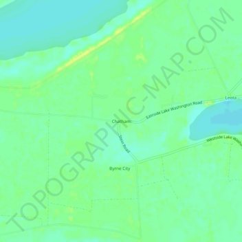
Name: Chatham topographic map, elevation, terrain.
Location: Chatham, Washington County, Mississippi, United States (33.08068 -91.11789 33.12068 -91.07789)
Average elevation: 112 ft
Minimum elevation: 85 ft
Maximum elevation: 141 ft
Washington County trails, hiking, mountain biking, running and outdoor activities
Other topographic maps
Click on a map to view its topography, its elevation and its terrain.