
Thank you for supporting this site ❤️
Make a donation
Make a donation
Gear up for your next adventure:
As an Amazon Associate, this site earns from qualifying purchases at no extra cost to you.
碧流河 topographic map
Click on the map to display elevation.
Thank you for supporting this site ❤️
Make a donation
Make a donation
Gear up for your next adventure:
As an Amazon Associate, this site earns from qualifying purchases at no extra cost to you.
About this map
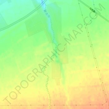
Name: 碧流河 topographic map, elevation, terrain.
Location: 碧流河, Qitai, Qitai County, Changji, Xinjiang, China (43.97364 89.62883 43.97376 89.62905)
Average elevation: 2,700 ft
Minimum elevation: 2,625 ft
Maximum elevation: 2,759 ft
Thank you for supporting this site ❤️
Make a donation
Make a donation
Gear up for your next adventure:
As an Amazon Associate, this site earns from qualifying purchases at no extra cost to you.