
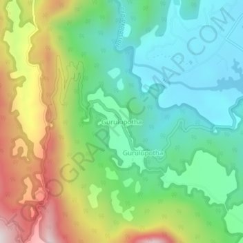
Gurulupotha topographic map
Click on the map to display elevation.
About this map
Name: Gurulupotha topographic map, elevation, terrain.
Location: Gurulupotha, Kandy District, Central Province, Sri Lanka (7.32643 80.90547 7.36643 80.94547)
Average elevation: 1,250 ft
Minimum elevation: 312 ft
Maximum elevation: 3,025 ft
Other topographic maps
Click on a map to view its topography, its elevation and its terrain.