
南开苗族彝族乡 topographic map
Interactive map
Click on the map to display elevation.
About this map
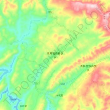
Name: 南开苗族彝族乡 topographic map, elevation, terrain.
Location: 南开苗族彝族乡, 六盘水市, 贵州省, 中国 (26.71540 104.96100 26.79540 105.04100)
Average elevation: 5,942 ft
Minimum elevation: 5,187 ft
Maximum elevation: 7,037 ft
Other topographic maps
Click on a map to view its topography, its elevation and its terrain.