
关寨镇 topographic map
Interactive map
Click on the map to display elevation.
About this map
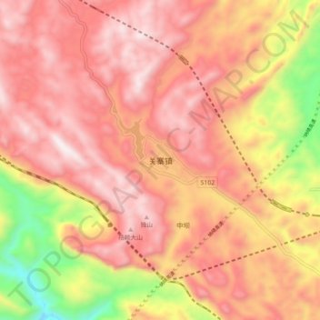
Name: 关寨镇 topographic map, elevation, terrain.
Location: 关寨镇, 六盘水市, 贵州省, 中国 (26.22767 105.26785 26.30767 105.34785)
Average elevation: 5,374 ft
Minimum elevation: 3,287 ft
Maximum elevation: 6,555 ft
Other topographic maps
Click on a map to view its topography, its elevation and its terrain.