Geolocate
👉 Easily get elevation data in JSON, GeoTIFF and KML formats using Elevation API
Thank you for supporting this site ❤️
Make a donation

Spruce Run topographic map

Click on the map to display elevation.

About this map

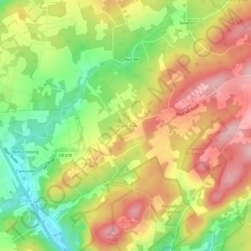
Name: Spruce Run topographic map, elevation, terrain.

Location: Spruce Run, Lebanon Township, Hunterdon County, New Jersey, 08826, United States (40.68871 -74.94211 40.72871 -74.90211)

Average elevation: 689 ft

Minimum elevation: 387 ft

Maximum elevation: 961 ft

Hunterdon County trails, hiking, mountain biking, running and outdoor activities

Other topographic maps

Click on a map to view its topography, its elevation and its terrain.

High Bridge

United States > New Jersey > Hunterdon County

Average elevation: 400 ft

Annandale

United States > New Jersey > Hunterdon County

Average elevation: 331 ft

Stockton

United States > New Jersey > Hunterdon County

Average elevation: 200 ft

Bloomsbury

United States > New Jersey > Hunterdon County

Average elevation: 469 ft

Lebanon

United States > New Jersey > Hunterdon County

Average elevation: 322 ft

Gear up for your next adventure:

🗺️Topographic Maps - Detailed topo maps for hiking, exploring and outdoor navigation
🛰️Handheld GPS Units - Professional satellite navigators for precise backcountry mapping
🔦LED Headlamp - Bright and durable LED headlamp for night navigation
📶Satellite Messenger - Communication device off‑grid
👓Polarized Sunglasses - Outdoor sunglasses for glare reduction

As an Amazon Associate, this site earns from qualifying purchases at no extra cost to you.