Liverpool topographic map
Interactive map
Click on the map to display elevation.
About this map
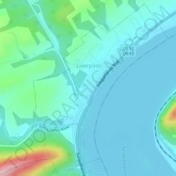
Name: Liverpool topographic map, elevation, terrain.
Location: Liverpool, Perry County, Pennsylvania, 17045, United States (40.55998 -77.00303 40.58595 -76.97546)
Average elevation: 486 ft
Minimum elevation: 371 ft
Maximum elevation: 1,070 ft
Other topographic maps
Click on a map to view its topography, its elevation and its terrain.
Bloomfield
United States > Pennsylvania > Perry County
Bloomfield, Perry County, Pennsylvania, United States
Average elevation: 774 ft
Loysville
United States > Pennsylvania > Perry County > Loysville
Loysville, Perry County, Pennsylvania, 17047, United States
Average elevation: 646 ft
Buffalo Mountain
United States > Pennsylvania > Perry County
Buffalo Mountain, Perry County, Pennsylvania, United States
Average elevation: 820 ft
New Bloomfield
United States > Pennsylvania > Perry County > New Bloomfield
New Bloomfield, Perry County, Pennsylvania, 17068, United States
Average elevation: 781 ft
Shermans Dale
United States > Pennsylvania > Perry County
Shermans Dale, Perry County, Pennsylvania, 17090, United States
Average elevation: 561 ft