
Thank you for supporting this site ❤️
Make a donation
Make a donation
Gear up for your next adventure:
As an Amazon Associate, this site earns from qualifying purchases at no extra cost to you.
江什加 topographic map
Click on the map to display elevation.
Thank you for supporting this site ❤️
Make a donation
Make a donation
Gear up for your next adventure:
As an Amazon Associate, this site earns from qualifying purchases at no extra cost to you.
About this map
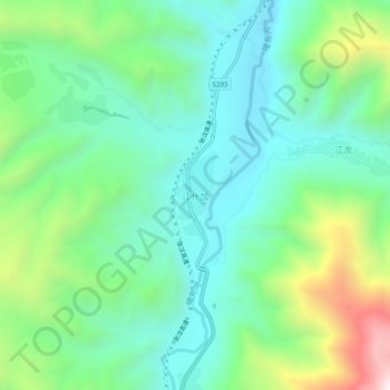
Name: 江什加 topographic map, elevation, terrain.
Location: 江什加, 同仁市, 黄南藏族自治州, 青海省, 中国 (35.42920 101.94882 35.46920 101.98882)
Average elevation: 9,272 ft
Minimum elevation: 8,396 ft
Maximum elevation: 11,509 ft
Thank you for supporting this site ❤️
Make a donation
Make a donation
Gear up for your next adventure:
As an Amazon Associate, this site earns from qualifying purchases at no extra cost to you.