
Tabor topographic map
Click on the map to display elevation.
About this map
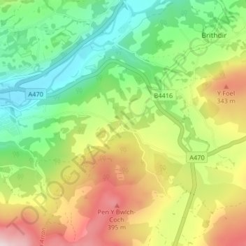
Name: Tabor topographic map, elevation, terrain.
Location: Tabor, Dolgellau, Gwynedd, Wales, LL40 2RA, United Kingdom (52.71972 -3.86728 52.75972 -3.82728)
Average elevation: 610 ft
Minimum elevation: 23 ft
Maximum elevation: 1,480 ft