Geolocate

Monte topographic map

Click on the map to display elevation.

About this map

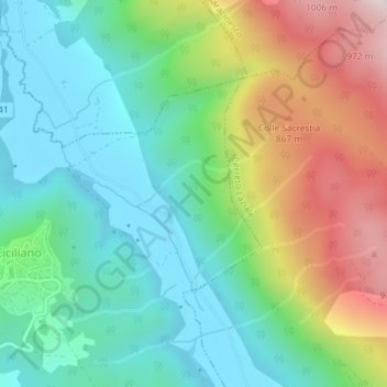
Name: Monte topographic map, elevation, terrain.

Location: Monte, Ciciliano, Roma Capitale, Lazio, 00020, Italy (41.95570 12.94746 41.97570 12.96746)

Average elevation: 1,978 ft

Minimum elevation: 1,250 ft

Maximum elevation: 3,432 ft

Gear up for your next adventure:

🥄Camping Utensil Set - Lightweight utensils for outdoor meals
🩹Survival Bandages - High‑quality bandages for emergencies
⛑️Personal Locator Beacon - Safety beacon for emergencies
👟Trail Running Shoes - Lightweight shoes for trail runners
🧭Map Reading Tools - Tools and kits for map navigation

As an Amazon Associate, this site earns from qualifying purchases at no extra cost to you.