
Abalá topographic map
Interactive map
Click on the map to display elevation.
About this map
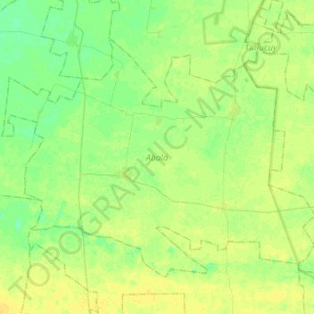
Name: Abalá topographic map, elevation, terrain.
Location: Abalá, Yucatán, 97825, Mexico (20.57224 -89.77766 20.74829 -89.53052)
Average elevation: 43 ft
Minimum elevation: 16 ft
Maximum elevation: 66 ft
Other topographic maps
Click on a map to view its topography, its elevation and its terrain.
Palomar
Mexico > Yucatán > Valladolid
Palomar, Valladolid, Yucatán, 97785, Mexico
Average elevation: 69 ft
Chicxulub Puerto
Mexico > Yucatán > Progreso > Chicxulub Puerto
Chicxulub Puerto, Progreso, Yucatán, Mexico
Average elevation: 0 ft
San Felipe Nuevo
San Felipe Nuevo, Tinum, Yucatán, 97751, Mexico
Average elevation: 89 ft