Geolocate

Klines Mill topographic map

Click on the map to display elevation.

About this map

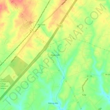
Name: Klines Mill topographic map, elevation, terrain.

Location: Klines Mill, Frederick County, Virginia, 22645, United States (39.02705 -78.26056 39.06705 -78.22056)

Average elevation: 712 ft

Minimum elevation: 600 ft

Maximum elevation: 823 ft

Frederick County trails, hiking, mountain biking, running and outdoor activities

Other topographic maps

Click on a map to view its topography, its elevation and its terrain.

Stephens City

United States > Virginia > Frederick County

Average elevation: 751 ft

Middletown

United States > Virginia > Frederick County

Average elevation: 692 ft

Gear up for your next adventure:

📷Action Cameras - Rugged cameras to document your journeys across rugged terrain
⛑️Personal Locator Beacon - Safety beacon for emergencies
🦶Carbon Trekking Poles - Reduce knee impact on steep descents with ultra-light poles
🧣Hiking Neck Gaiter - Multi‑use neck protection for outdoor weather
👖Convertible Hiking Pants - Versatile zip-off pants for changing altitudes and temperatures

As an Amazon Associate, this site earns from qualifying purchases at no extra cost to you.