
Ritchey topographic map
Click on the map to display elevation.
About this map
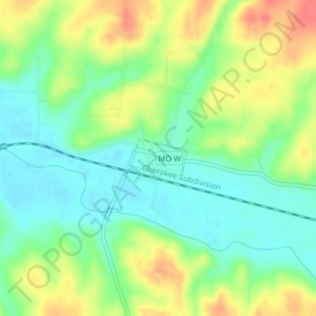
Name: Ritchey topographic map, elevation, terrain.
Location: Ritchey, Newton County, Missouri, United States (36.94236 -94.18899 36.94568 -94.18275)
Average elevation: 1,132 ft
Minimum elevation: 1,053 ft
Maximum elevation: 1,247 ft
Newton County trails, hiking, mountain biking, running and outdoor activities