
Penfield topographic map
Click on the map to display elevation.
Penfield
It is believed by some that nearly two million years ago, Penfield's topography was formed by melting glaciers. The same forces that created the Finger Lakes helped develop interesting terrain in and around Ellison Park. These glacial ice melt carvings left fertile lands which today is used in farming (and from the late 20th century to the present, housing developments). The soil is rich for farming certain types of apples, cherries, plums, peaches, and pears.
About this map
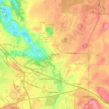
Name: Penfield topographic map, elevation, terrain.
Average elevation: 449 ft
Minimum elevation: 236 ft
Maximum elevation: 597 ft