
Отдалённое сельское поселение topographic map
Interactive map
Click on the map to display elevation.
About this map
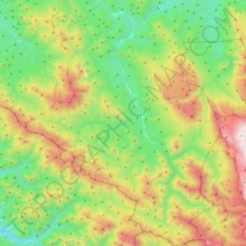
Name: Отдалённое сельское поселение topographic map, elevation, terrain.
Average elevation: 2,989 ft
Minimum elevation: 531 ft
Maximum elevation: 7,743 ft