Geolocate

Union topographic map

Click on the map to display elevation.

About this map

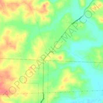
Name: Union topographic map, elevation, terrain.

Location: Union, Fulton County, Arkansas, United States (36.23979 -91.94126 36.27979 -91.90126)

Average elevation: 751 ft

Minimum elevation: 650 ft

Maximum elevation: 873 ft

Fulton County trails, hiking, mountain biking, running and outdoor activities

Gear up for your next adventure:

🥤Water Filter Bottle - All‑in‑one filter bottle for safe hydration
🖼️Topo Map Wall Art - Decorative topographic prints of famous peaks and regions
🧯Portable Fire Pit - Compact fire pit for camping spots
🪓Survival Multi‑Tool - Versatile tool for camp and trail tasks
🏕️Tent Footprint - Protect your tent base from wear

As an Amazon Associate, this site earns from qualifying purchases at no extra cost to you.