Geolocate

Rauta topographic map

Click on the map to display elevation.

About this map

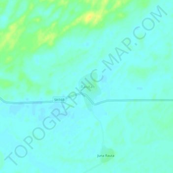
Name: Rauta topographic map, elevation, terrain.

Location: Rauta, Bagora Tehsil, Sanchore, Rajasthan, India (25.19383 71.92251 25.23383 71.96251)

Average elevation: 223 ft

Minimum elevation: 203 ft

Maximum elevation: 282 ft

Gear up for your next adventure:

🧯Emergency Survival Kit - All‑in‑one survival essentials for the backcountry
🪶Camp Gear Gift Set - Perfect gift bundle for outdoor fans
Solar GPS Watches - Advanced multisport watches with built-in topographic maps
🥄Camping Utensil Set - Lightweight utensils for outdoor meals
🎁Geography Themed Gifts - Unique gift ideas for map lovers and geography enthusiasts

As an Amazon Associate, this site earns from qualifying purchases at no extra cost to you.