Geolocate

Fonte Colombo topographic map

Click on the map to display elevation.

About this map

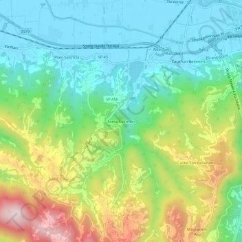
Name: Fonte Colombo topographic map, elevation, terrain.

Location: Fonte Colombo, Sant'Elia, Rieti, Lazio, 02100, Italia (42.35926 12.80850 42.39926 12.84850)

Average elevation: 1,801 ft

Minimum elevation: 1,247 ft

Maximum elevation: 2,907 ft

Gear up for your next adventure:

🚗GPS Dash Cams - Record your scenic drives through mountain passes and canyons
🪶Multi‑Purpose Knife - Useful blade for camp and trail
🧯Emergency Survival Kit - All‑in‑one survival essentials for the backcountry
🚪Portable Camp Chair - Foldable chair for comfort at camp
🪶Survival Guide Book - Expert advice for emergency preparedness

As an Amazon Associate, this site earns from qualifying purchases at no extra cost to you.