Geolocate

Rattery topographic map

Click on the map to display elevation.

About this map

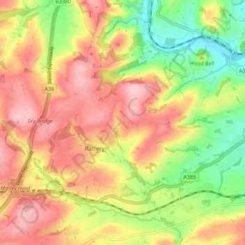
Name: Rattery topographic map, elevation, terrain.

Location: Rattery, South Hams, Devon, England, United Kingdom (50.42459 -3.80841 50.46776 -3.72948)

Average elevation: 364 ft

Minimum elevation: 36 ft

Maximum elevation: 656 ft

Gear up for your next adventure:

📡GPS Antenna Upgrade - Enhance GPS reception in remote terrain
🦺Reflective Outdoor Gear - Safety gear for low‑light conditions
Backpacking Tent - Lightweight and durable tent for multi‑day hikes
🪑Portable Camp Table - Compact table for campsite meals
🥄Camping Utensil Set - Lightweight utensils for outdoor meals

As an Amazon Associate, this site earns from qualifying purchases at no extra cost to you.