
บ้านโนนสะอาด topographic map
Interactive map
Click on the map to display elevation.
About this map
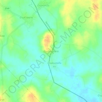
Name: บ้านโนนสะอาด topographic map, elevation, terrain.
Location: บ้านโนนสะอาด, ท่าช้างคล้อง, Loei (Provinz), Thailand (17.04957 102.08902 17.08957 102.12902)
Average elevation: 774 ft
Minimum elevation: 735 ft
Maximum elevation: 840 ft
Other topographic maps
Click on a map to view its topography, its elevation and its terrain.