
Thank you for supporting this site ❤️
Make a donation
Make a donation
Gear up for your next adventure:
As an Amazon Associate, this site earns from qualifying purchases at no extra cost to you.
Concá topographic map
Click on the map to display elevation.
Thank you for supporting this site ❤️
Make a donation
Make a donation
Gear up for your next adventure:
As an Amazon Associate, this site earns from qualifying purchases at no extra cost to you.
About this map
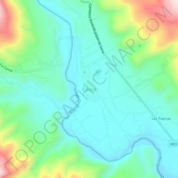
Name: Concá topographic map, elevation, terrain.
Location: Concá, Arroyo Seco, Querétaro, 76400, Mexico (21.42347 -99.65622 21.46347 -99.61622)
Average elevation: 2,103 ft
Minimum elevation: 1,706 ft
Maximum elevation: 3,258 ft
Thank you for supporting this site ❤️
Make a donation
Make a donation
Gear up for your next adventure:
As an Amazon Associate, this site earns from qualifying purchases at no extra cost to you.