
九丘 topographic map
Interactive map
Click on the map to display elevation.
About this map
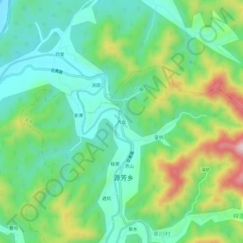
Name: 九丘 topographic map, elevation, terrain.
Location: 九丘, 休宁县, 黄山市, 安徽省, 中国 (29.59559 118.29776 29.63559 118.33776)
Average elevation: 820 ft
Minimum elevation: 482 ft
Maximum elevation: 1,555 ft
Other topographic maps
Click on a map to view its topography, its elevation and its terrain.