Geolocate

San Rafael topographic map

Click on the map to display elevation.

About this map

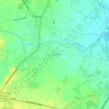
Name: San Rafael topographic map, elevation, terrain.

Location: San Rafael, Bamban, Tarlac, Central Luzon, 2317, Philippines (15.30195 120.57615 15.34195 120.61615)

Average elevation: 161 ft

Minimum elevation: 131 ft

Maximum elevation: 194 ft

Other topographic maps

Click on a map to view its topography, its elevation and its terrain.

Marimla River

Philippines > Tarlac > Bamban > Lourdes

Average elevation: 259 ft

Gear up for your next adventure:

🌡️Handheld Weather Meters - Measure wind, temp, and pressure for safe mountain travel
🔋Rechargeable Batteries - Power up your outdoor devices
🪶Trail Camera - Capture wildlife on your hikes
📻Weather Alert Radios - Stay informed of storm risks while off-the-grid
🛏️Cold Weather Sleeping Bag - Warm sleeping bag for cold conditions

As an Amazon Associate, this site earns from qualifying purchases at no extra cost to you.