Geolocate

Sector 73 topographic map

Click on the map to display elevation.

About this map

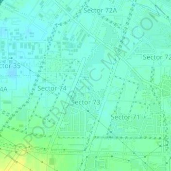
Name: Sector 73 topographic map, elevation, terrain.

Location: Sector 73, Gurgaon, Gurugram, Haryana, India (28.40082 77.00921 28.42201 77.02330)

Average elevation: 738 ft

Minimum elevation: 719 ft

Maximum elevation: 781 ft

Other topographic maps

Click on a map to view its topography, its elevation and its terrain.

Sultanpur National Park

India > Haryana > Gurugram

Average elevation: 709 ft

Wazirabad

India > Haryana > Gurugram

Average elevation: 791 ft

Gear up for your next adventure:

🔋Rechargeable Batteries - Power up your outdoor devices
🔦Powerful Headlamps - Ultra-bright hands-free lighting for night navigation
🪶Multi‑Purpose Knife - Useful blade for camp and trail
📚USA Hiking Guide Books - Top trail guides and map books
🔌USB Car Charger - Car charger for on‑the‑go power needs

As an Amazon Associate, this site earns from qualifying purchases at no extra cost to you.