Geolocate

Thakraha topographic map

Click on the map to display elevation.

About this map

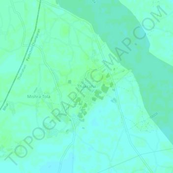
Name: Thakraha topographic map, elevation, terrain.

Location: Thakraha, Thakrahan, Pashchim Champaran, Bihar, India (26.75634 84.25059 26.79634 84.29059)

Average elevation: 256 ft

Minimum elevation: 243 ft

Maximum elevation: 266 ft

Gear up for your next adventure:

🧣Merino Neck Gaiters - Multi-functional headwear for wind and sun protection
🎒Waterproof Dry Bags - Keep your electronics and maps dry inside your pack
👟Trail Running Shoes - Lightweight shoes for trail runners
🦟Ultrasonic Repellers - Create a bug-free zone at your camp or rest stop
🧢Sun Protection Hats - Wide-brimmed and UPF-rated hats for high-altitude sun safety

As an Amazon Associate, this site earns from qualifying purchases at no extra cost to you.