
Make a donation
Gear up for your next adventure:
As an Amazon Associate, this site earns from qualifying purchases at no extra cost to you.
Greene topographic map
Click on the map to display elevation.
Make a donation
Gear up for your next adventure:
As an Amazon Associate, this site earns from qualifying purchases at no extra cost to you.
About this map
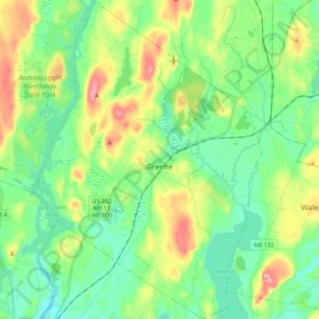
Name: Greene topographic map, elevation, terrain.
Location: Greene, Androscoggin County, Maine, 04236, United States (44.12625 -70.21274 44.25877 -70.08089)
Average elevation: 354 ft
Minimum elevation: 167 ft
Maximum elevation: 774 ft
Androscoggin County trails, hiking, mountain biking, running and outdoor activities
Make a donation
Gear up for your next adventure:
As an Amazon Associate, this site earns from qualifying purchases at no extra cost to you.
Other topographic maps
Click on a map to view its topography, its elevation and its terrain.
East Livermore
United States > Maine > Androscoggin County > Livermore Falls
Average elevation: 364 ft
Make a donation
Gear up for your next adventure:
As an Amazon Associate, this site earns from qualifying purchases at no extra cost to you.