Geolocate

Ear Mountain topographic map

Click on the map to display elevation.

About this map

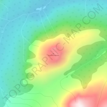
Name: Ear Mountain topographic map, elevation, terrain.

Location: Ear Mountain, Stikine Region, British Columbia, Canada (59.73619 -134.05016 59.73629 -134.05006)

Average elevation: 3,947 ft

Minimum elevation: 3,146 ft

Maximum elevation: 5,597 ft

Other topographic maps

Click on a map to view its topography, its elevation and its terrain.

Margerie Glacier

Canada > British Columbia > Stikine Region

Average elevation: 7,106 ft

Gear up for your next adventure:

🔊Portable Camp Speaker - Music and alerts at camp
🍳Camping Cook Set - Complete cookware for outdoor meals
🎒Hydration Pack - Hands‑free water reservoir for long hikes
🪄Magnetic Compass - Accurate compass for navigation
🧭GPS Watch Accessories - Bands and chargers for GPS watches

As an Amazon Associate, this site earns from qualifying purchases at no extra cost to you.