
白市驿镇 topographic map
Interactive map
Click on the map to display elevation.
About this map
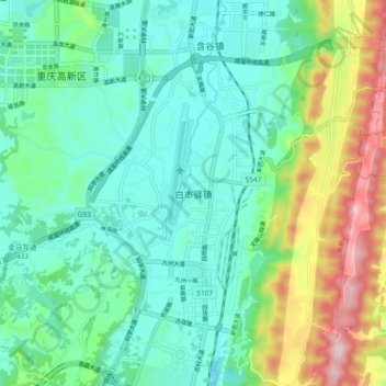
Name: 白市驿镇 topographic map, elevation, terrain.
Location: 白市驿镇, 高新区, 九龙坡区, 重庆市主城都市区, 重庆市, 中国 (29.45150 106.32300 29.53150 106.40300)
Average elevation: 1,243 ft
Minimum elevation: 873 ft
Maximum elevation: 2,254 ft
Other topographic maps
Click on a map to view its topography, its elevation and its terrain.