
虎溪街道 topographic map
Interactive map
Click on the map to display elevation.
About this map
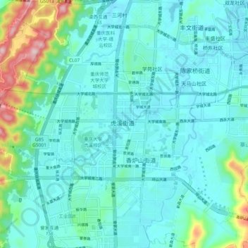
Name: 虎溪街道 topographic map, elevation, terrain.
Location: 虎溪街道, 高新区, 沙坪坝区, 重庆市主城都市区, 重庆市, 401331, 中国 (29.56017 106.26703 29.64017 106.34703)
Average elevation: 1,066 ft
Minimum elevation: 896 ft
Maximum elevation: 1,916 ft
Other topographic maps
Click on a map to view its topography, its elevation and its terrain.