
Thank you for supporting this site ❤️
Make a donation
Make a donation
Gear up for your next adventure:
As an Amazon Associate, this site earns from qualifying purchases at no extra cost to you.
Retiro topographic map
Click on the map to display elevation.
Thank you for supporting this site ❤️
Make a donation
Make a donation
Gear up for your next adventure:
As an Amazon Associate, this site earns from qualifying purchases at no extra cost to you.
About this map
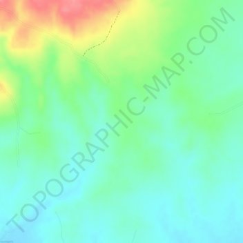
Name: Retiro topographic map, elevation, terrain.
Location: Retiro, Turbaná, Dique, Bolívar, Colombia (10.24012 -75.42863 10.26012 -75.40863)
Average elevation: 203 ft
Minimum elevation: 105 ft
Maximum elevation: 394 ft
Thank you for supporting this site ❤️
Make a donation
Make a donation
Gear up for your next adventure:
As an Amazon Associate, this site earns from qualifying purchases at no extra cost to you.