Geolocate

Panan topographic map

Click on the map to display elevation.

About this map

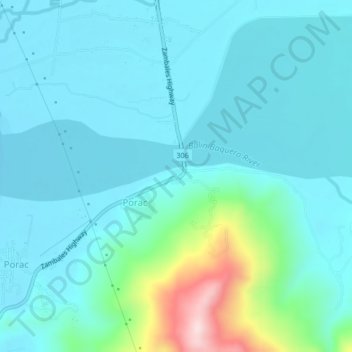
Name: Panan topographic map, elevation, terrain.

Location: Panan, Zambales, Central Luzon, 2202, Philippines (15.24083 120.01630 15.28083 120.05630)

Average elevation: 197 ft

Minimum elevation: -3 ft

Maximum elevation: 1,260 ft

Gear up for your next adventure:

🧦Hiking Socks - Comfortable socks to prevent blisters on long hikes
🎒Gear Packing Cubes - Organize your backpack efficiently
🌎3D Topographic Globes - Raised relief globes for a tactile understanding of geography
👟Men's Trail Runners - Lightweight footwear for fast-paced exploration and light hiking
📶Vehicle Signal Boosters - Improve reception in rural areas while driving to trailheads

As an Amazon Associate, this site earns from qualifying purchases at no extra cost to you.