
Carding Mill topographic map
Click on the map to display elevation.
About this map
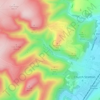
Name: Carding Mill topographic map, elevation, terrain.
Average elevation: 1,076 ft
Minimum elevation: 584 ft
Maximum elevation: 1,585 ft
Other topographic maps
Click on a map to view its topography, its elevation and its terrain.
Long Mynd
United Kingdom > England > Shropshire > Church Stretton
Long Mynd comprises a multitude of valleys, and the highest concentration lies along the eastern edge, near Church Stretton. Topographically, many of the larger valleys lie adjacent to each other and are aligned northwest to southeast. The main valleys include.
Average elevation: 958 ft