
Thank you for supporting this site ❤️
Make a donation
Make a donation
Gear up for your next adventure:
As an Amazon Associate, this site earns from qualifying purchases at no extra cost to you.
东坝乡 topographic map
Click on the map to display elevation.
Thank you for supporting this site ❤️
Make a donation
Make a donation
Gear up for your next adventure:
As an Amazon Associate, this site earns from qualifying purchases at no extra cost to you.
About this map
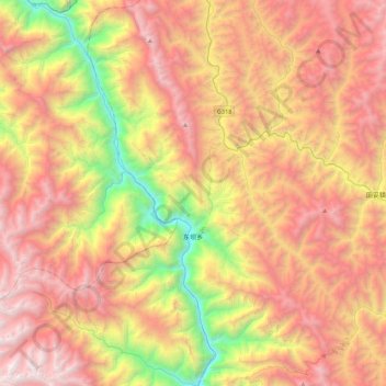
Name: 东坝乡 topographic map, elevation, terrain.
Location: 东坝乡, 左贡县 མཛོ་སྒང་རྫོང།, Qamdo, Tibet, China (29.70980 97.30442 30.08807 97.57490)
Average elevation: 14,003 ft
Minimum elevation: 8,547 ft
Maximum elevation: 19,009 ft
Thank you for supporting this site ❤️
Make a donation
Make a donation
Gear up for your next adventure:
As an Amazon Associate, this site earns from qualifying purchases at no extra cost to you.