
Thank you for supporting this site ❤️
Make a donation
Make a donation
Gear up for your next adventure:
As an Amazon Associate, this site earns from qualifying purchases at no extra cost to you.
Wieze topographic map
Click on the map to display elevation.
Thank you for supporting this site ❤️
Make a donation
Make a donation
Gear up for your next adventure:
As an Amazon Associate, this site earns from qualifying purchases at no extra cost to you.
About this map
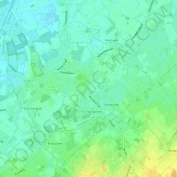
Name: Wieze topographic map, elevation, terrain.
Location: Wieze, Lebbeke, Dendermonde, East Flanders, Flanders, Belgium (50.96703 4.07276 50.99029 4.12532)
Average elevation: 26 ft
Minimum elevation: 0 ft
Maximum elevation: 82 ft
Thank you for supporting this site ❤️
Make a donation
Make a donation
Gear up for your next adventure:
As an Amazon Associate, this site earns from qualifying purchases at no extra cost to you.