
Thank you for supporting this site ❤️
Make a donation
Make a donation
Gear up for your next adventure:
As an Amazon Associate, this site earns from qualifying purchases at no extra cost to you.
Esposa topographic map
Click on the map to display elevation.
Thank you for supporting this site ❤️
Make a donation
Make a donation
Gear up for your next adventure:
As an Amazon Associate, this site earns from qualifying purchases at no extra cost to you.
About this map
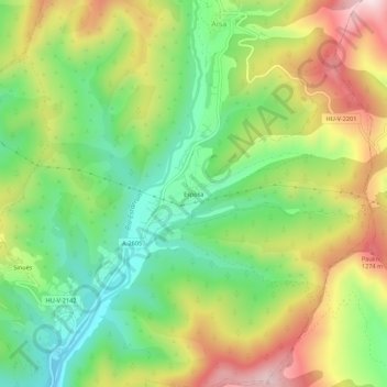
Name: Esposa topographic map, elevation, terrain.
Location: Esposa, Aísa, La Jacetania, Huesca, Aragón, 22860, España (42.64118 -0.64449 42.68118 -0.60449)
Average elevation: 3,497 ft
Minimum elevation: 2,838 ft
Maximum elevation: 4,396 ft
Thank you for supporting this site ❤️
Make a donation
Make a donation
Gear up for your next adventure:
As an Amazon Associate, this site earns from qualifying purchases at no extra cost to you.