Geolocate

Manlilinab topographic map

Click on the map to display elevation.

About this map

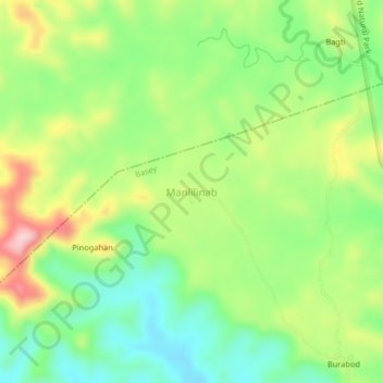
Name: Manlilinab topographic map, elevation, terrain.

Location: Manlilinab, Basey, Samar, Eastern Visayas, Philippines (11.38578 125.10725 11.42578 125.14725)

Average elevation: 331 ft

Minimum elevation: 66 ft

Maximum elevation: 725 ft

Gear up for your next adventure:

🪶Fire Starter Kit - Reliable fire starter for survival and camping
🛡️Bear Spray Outdoor - Protection in bear country hikes
🔥Plasma Lighters - Windproof lighters that work in any weather condition
🌡️Portable Weather Meter - Track weather conditions on the trail
📚USA Hiking Guide Books - Top trail guides and map books

As an Amazon Associate, this site earns from qualifying purchases at no extra cost to you.