Geolocate
👉 Easily get elevation data in JSON, GeoTIFF and KML formats using Elevation API
Thank you for supporting this site ❤️
Make a donation

Regalado topographic map

Click on the map to display elevation.

About this map

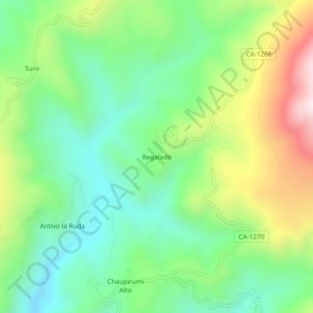
Name: Regalado topographic map, elevation, terrain.

Location: Regalado, Tumbaden, Province of San Pablo, Cajamarca, Peru (-6.98533 -78.69856 -6.94533 -78.65856)

Average elevation: 10,840 ft

Minimum elevation: 9,984 ft

Maximum elevation: 12,418 ft

Gear up for your next adventure:

🌧️Backpack Rain Cover - Keep gear dry in wet weather
🔌Solar Panel Charger - Charge gear sustainably outdoors
🧣Hiking Neck Gaiter - Multi‑use neck protection for outdoor weather
🔭Telescopic Hiking Pole - Adjustable pole for hiking stability
🧴Hand Sanitizer - Keep hands clean while hiking

As an Amazon Associate, this site earns from qualifying purchases at no extra cost to you.